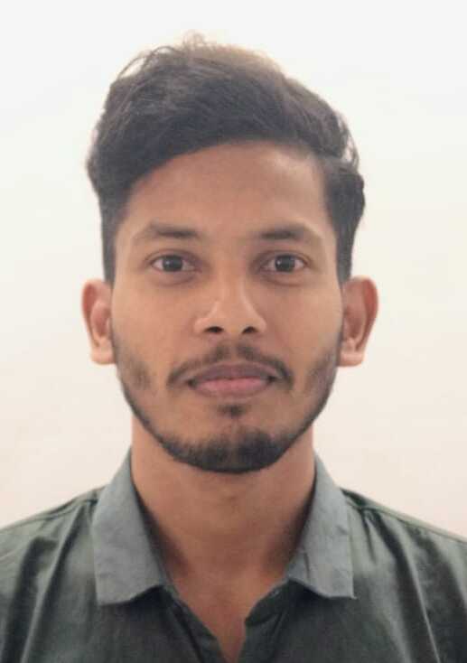
The GISE Hub Fellowship offers emerging leaders in geospatial technology the chance to develop skills and work on impactful projects. Fellows gain hands-on experience, mentorship, and exposure to cutting-edge GIS tools, contributing to solutions for global challenges.
PRESENT GIO FELLOWS

Aditya Verma
Applying integrated choice latent variable (ICLV) model to gauge vehicle ownership decision between EV and ICEV
Objectives of the research:
1. Review stated preference (SP) survey design and design a survey using prior information about parameter estimates of the underlying choice model
2.Estimate Choice models (EV vs ICEV) and find out the trade offs among various alternative specific variables
3. Include latent variables to improve the model fit and better explain the choices of the individuals utilising ICLV framework
As an extension to the first objective we are also trying to develop a comprehensive novel approach to design SP survey which is easier to implement in the field and also takes care about the heterogeneous nature of the individuals in a population.

Priyangshhi Biswas
Teenage Pregnancies and Fertility Rates in India: Transitions and Concerns
Objectives of the research:
1.To identify regions with high-risk fertility behaviors, including early, frequent, and numerous pregnancies
2. To assess the impact of socio-economic factors, including literacy rates, years of schooling, wealth quantiles and family planning on early pregnancies and marriage
3. To conduct field research in rural and tribal areas in Meghalaya and Maharashtra to explore stakeholder perceptions of teenage pregnancies
The study focuses on examining high-risk fertility behaviors, particularly teenage pregnancies, and their socio-economic implications.

Piyush Chouhan
Scaling Up Energy Estimation Model in Maharashtra: A Village to Block Level Approach
Objectives of the research:
1.To analyze the impact of cropping patterns, availability of water sources, irrigation methods on energy demand
2.To scale up the energy estimation model for the agricultural sector up to block level
This research aims to estimate agricultural energy demand by analyzing factors like cropping patterns, irrigation methods, and seasonal variations. It will develop a scalable energy estimation model for block-level application, ensuring accuracy across diverse landscapes. Using GIS-based spatial analysis, the study will enhance demand predictions while considering climate and land use changes. Additionally, the model will integrate multiple energy sectors to support comprehensive energy planning and management in agriculture.

Soumyadeep Haldar
A Novel Method for Feature Extraction Using Multi-Satellite Imagery
Objectives of the research:
1.Evaluate Existing Methods – Analyze current LULC feature extraction techniques in human settlement areas.
2.Develop Innovative Approach – Create a new LULC classification method using multi-satellite datasets.
3.Enhance Ground Feature Identification – Improve detection of new land features for better classification.
The research explores the integration of Generative AI modules as a supplementary tool in GIS-based image classification. It also assesses the efficiency of these algorithms across various land use categories.Generative AI techniques like GANs and VAEs are used for data augmentation, enhancing image features, and generating synthetic data, especially for rare land use categories.