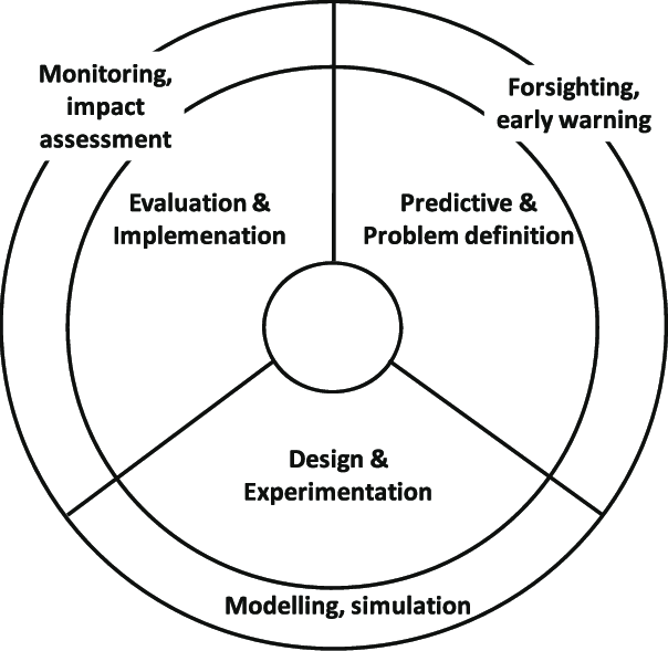

The platform for D4P aims to promote sharing and coalition of data from national and state agencies. Under this head, focused projects to collect, analyze and visualize spatial data will be undertaken. Specific outcomes include
Geo-visualisation of decision ready information for government agencies and policy makers
Data sharing and interoperability of information and tools that facilitate collaborative policy making and engagement with the community
Creation of geospatial tools that facilitate creation of Decision Ready Information.
Proposals for D4P will be accepted through regular call for proposals and will be supported by the FOSS and Open Data initiative. Examples of D4P can be seen here
